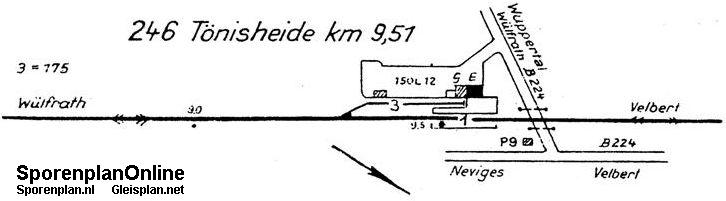
| Betriebsstelle | Tönisheide |
|---|---|
| Kürzel | ETHD |
| Typ | Anst |
| Kreis | ME |
| Reichsbahndirektion (1944) | Wpt |
| LochkartenNummer (1944) | 08 165 |
| Bahnhofsklasse | III OK |
| Abkürzung (DV407) | Th (1971) |
| Gleisplan (c) sporenplan.nl | 1965/69 |
| Karten | GoogleMap NRWbahnarchivKarte OpenStreetMap susudata |
| Geokoordinaten (WGS84) | 7,067924° Ost 51,31226° Nord |
| Landeskoordinaten (GK2) | 2574502m Rechts 5686927m Hoch |
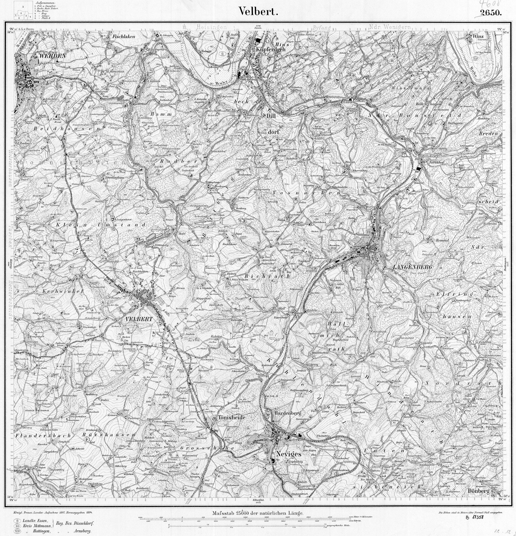
| TK25 (c) geogreif | 4608 (1899) |
| Jahr | Tag | Art | Bemerkung | Quelle |
|---|---|---|---|---|
| 1889 | 01.02.89 | PVneu | ||
| 1960 | 02.10.60 | PVstill |
| Strecke | km | |
|---|---|---|
| 2724 | Oberdüssel - Kettwig Stausee | 9,51 |