| Betriebsstelle | Plantage |
|---|---|
| Kürzel | .PLA |
| Typ | Abzw |
| Kreis | K |
| Karten | GoogleMap NRWbahnarchivKarte OpenStreetMap susudata |
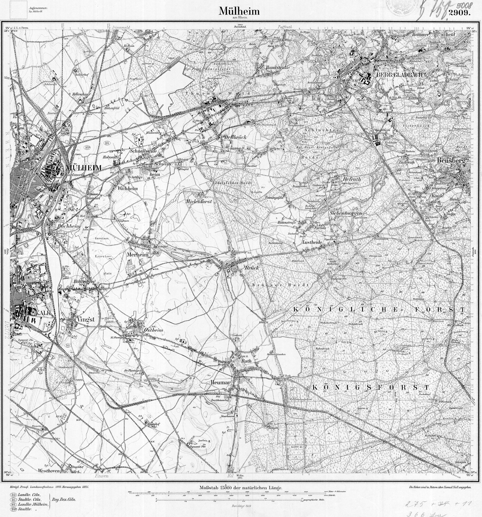
| Geokoordinaten (WGS84) | 7,052083° Ost 50,91545° Nord |
| Landeskoordinaten (GK2) | 2574029m Rechts 5642768m Hoch |
| TK25 (c) geogreif | 5008 (1909) |
| Strecke | km | |
|---|---|---|
| 2655 | Abzw Vingst - Overath | 4,21 |
| Typ | Bemerkung |
|---|---|
| Abzw | 1944-1958 |