| Betriebsstelle | Pusch |
|---|---|
| Kürzel | .PUS |
| Typ | Abzw |
| Kreis | E |
| Karten | GoogleMap NRWbahnarchivKarte OpenStreetMap susudata |
| Geokoordinaten (WGS84) | 6,937308° Ost 51,35612° Nord |
| Landeskoordinaten (GK2) | 2565332m Rechts 5691683m Hoch |
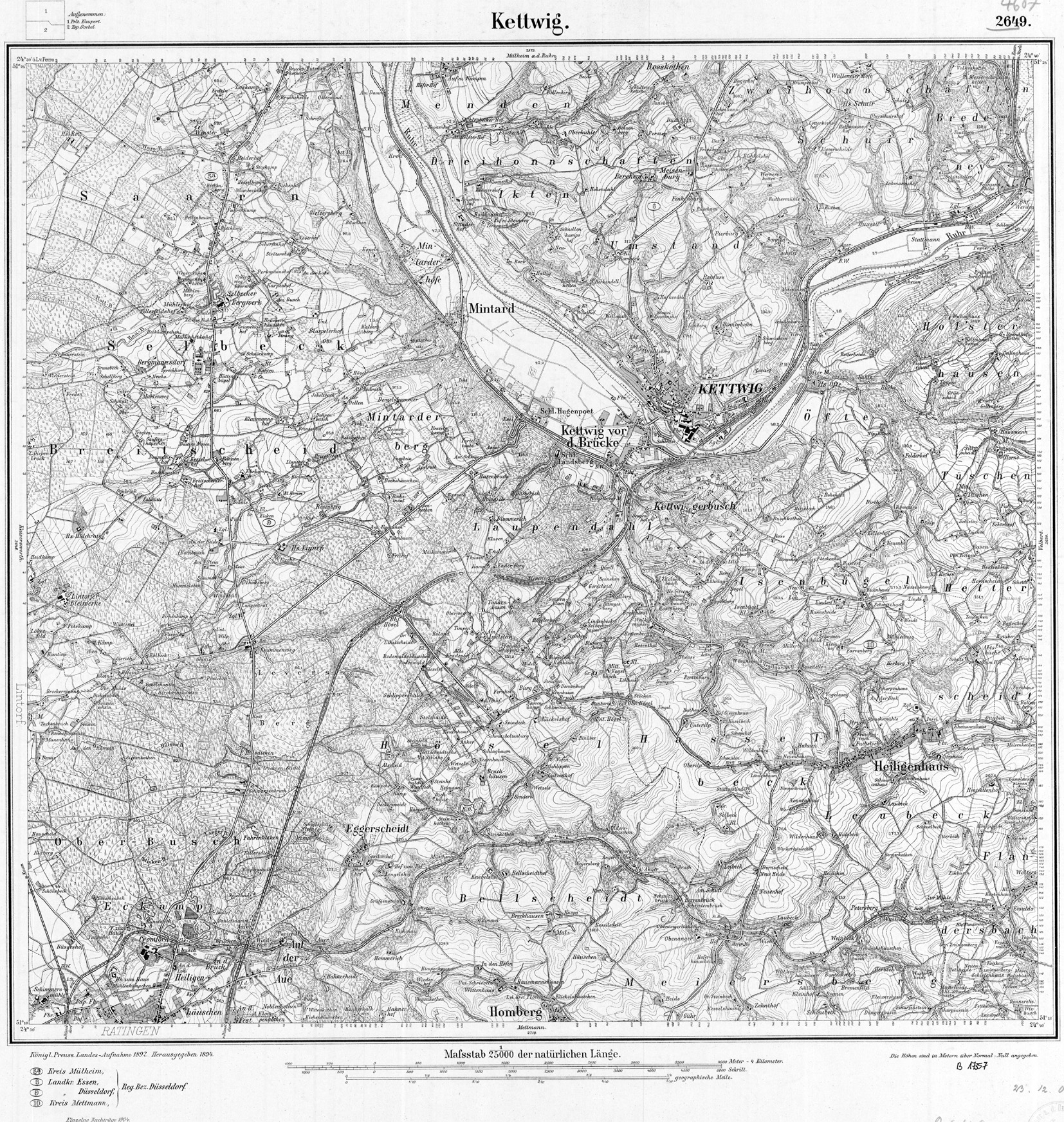
| TK25 (c) geogreif | 4607 (1904) |
| Jahr | Tag | Art | Bemerkung | Quelle |
|---|---|---|---|---|
| 1926 | Neu | ab 1945 Behelfshalt | Ruhrtalbahn |
| Strecke | km | |
|---|---|---|
| 2400 | Düsseldorf - Hagen | 19,37 |
| 2724 | Oberdüssel - Kettwig Stausee | 25,79 |
| Typ | Bemerkung |
|---|---|
| Bk Abzw | 1926-1951 Pusch, 1956 Kettwig Stausee |
| Bk Abzw | 1926-1951 Pusch, 1956 Kettwig Stausee |