| Betriebsstelle | Steinkoten |
|---|---|
| Kürzel | .STK |
| Typ | Hpu |
| Kreis | ME |
| Reichsbahndirektion (1944) | Wpt |
| LochkartenNummer (1944) | 08 173 |
| Bahnhofsklasse | Hp p u |
| Karten | GoogleMap NRWbahnarchivKarte OpenStreetMap susudata |
| Geokoordinaten (WGS84) | 6,912578° Ost 51,31717° Nord |
| Landeskoordinaten (GK2) | 2563664m Rechts 5687328m Hoch |
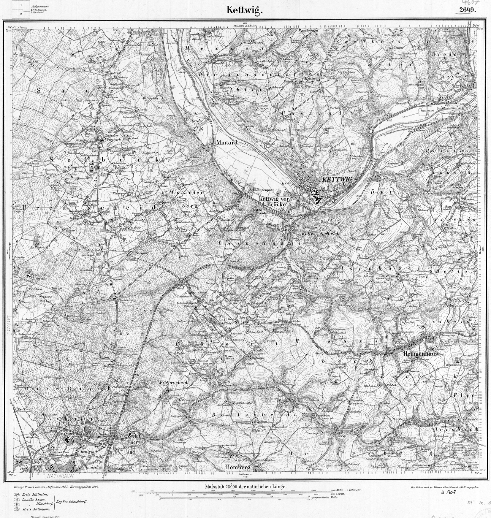
| TK25 (c) geogreif | 4607 (1904) |
| Jahr | Tag | Art | Bemerkung | Quelle |
|---|---|---|---|---|
| 1911 | 01.08.11 | PVneu | angertalbahn.de | |
| 1911/26 | Umwandlung | Bf -> Hpu | angertalbahn.de | |
| 1952 | 01.12.52 | PVstill |
| Strecke | km | |
|---|---|---|
| 2404 | Ratingen West - Wülfrath | 6,36 |
| Baujahr | Abbruch | Nutzung | Bemerkung | Quelle | vorhanden | Bilder |
|---|---|---|---|---|---|---|
| 1911 | 1945 | Abbruch | angertalbahn.de |