| Betriebsstelle | Schulte & Söhne |
|---|---|
| Kürzel | .SUS |
| Typ | Anst |
| Kreis | GM |
| Karten | GoogleMap NRWbahnarchivKarte OpenStreetMap susudata |
| Geokoordinaten (WGS84) | 7,336458° Ost 51,20267° Nord |
| Landeskoordinaten (GK2) | 2593446m Rechts 5675043m Hoch |
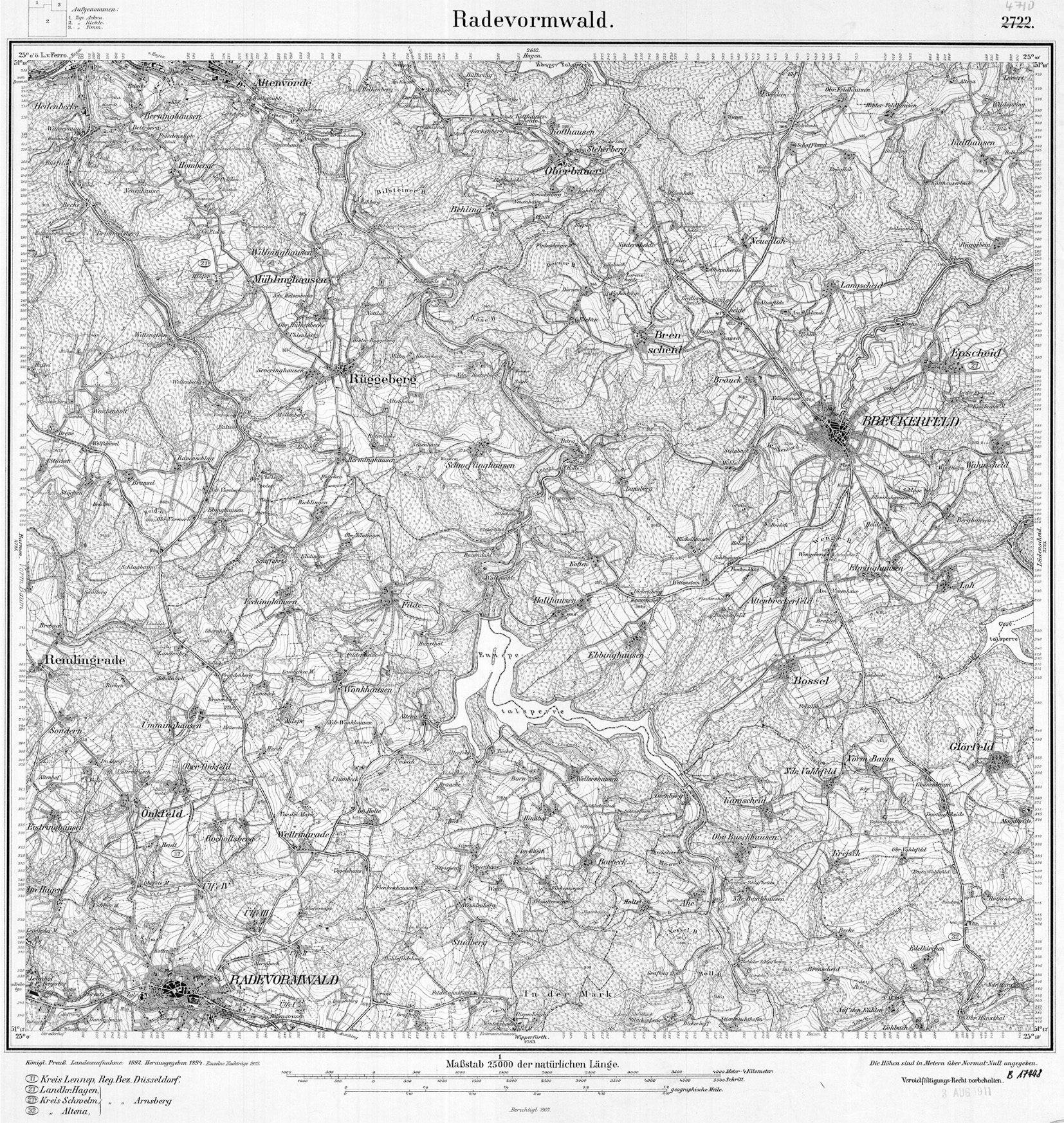
| TK25 (c) geogreif | 4710 (1907) |
| Strecke | km | |
|---|---|---|
| 2704 | Krebsöge - Anschlag | 6,6 |