| Betriebsstelle | Am Obsthof |
|---|---|
| Kürzel | EAOH |
| Typ | Hp |
| Kreis | MK |
| Karten | GoogleMap NRWbahnarchivKarte OpenStreetMap susudata |
| Geokoordinaten (WGS84) | 7,796856° Ost 51,42476° Nord |
| Landeskoordinaten (GK2) | 2625017m Rechts 5700434m Hoch |
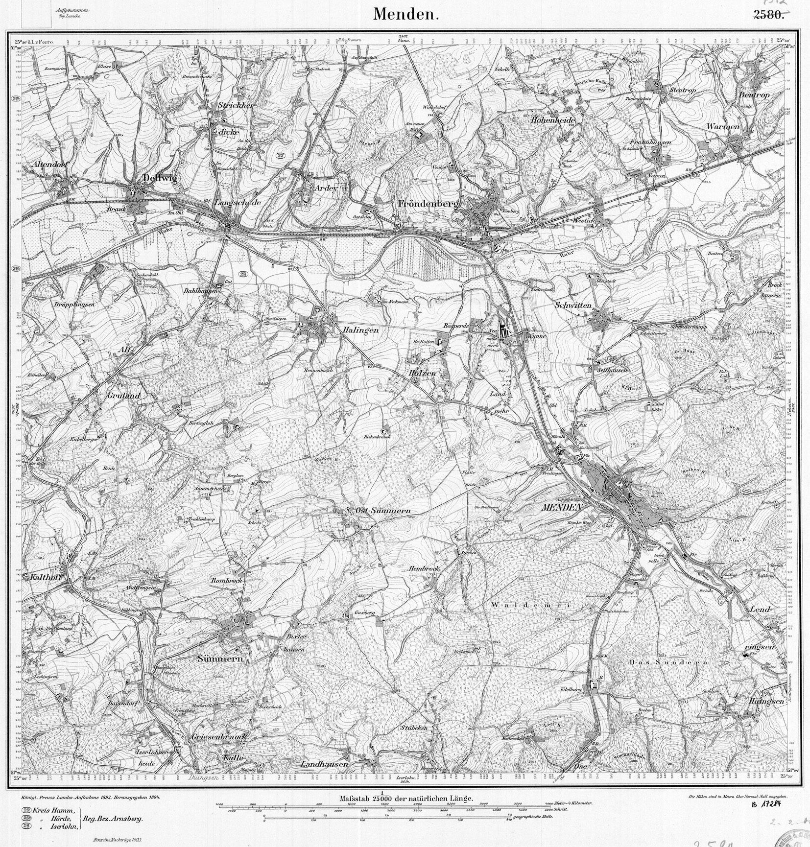
| TK25 (c) geogreif | 4512 (1903) |
| Jahr | Tag | Art | Bemerkung | Quelle |
|---|---|---|---|---|
| 1954/57 | PVneu | Kursbuch | ||
| 1989 | 28.05.89 | PVstill | Amtsblatt |
| Strecke | km | |
|---|---|---|
| 2850 | Letmathe - Fröndenberg | 18,9 |